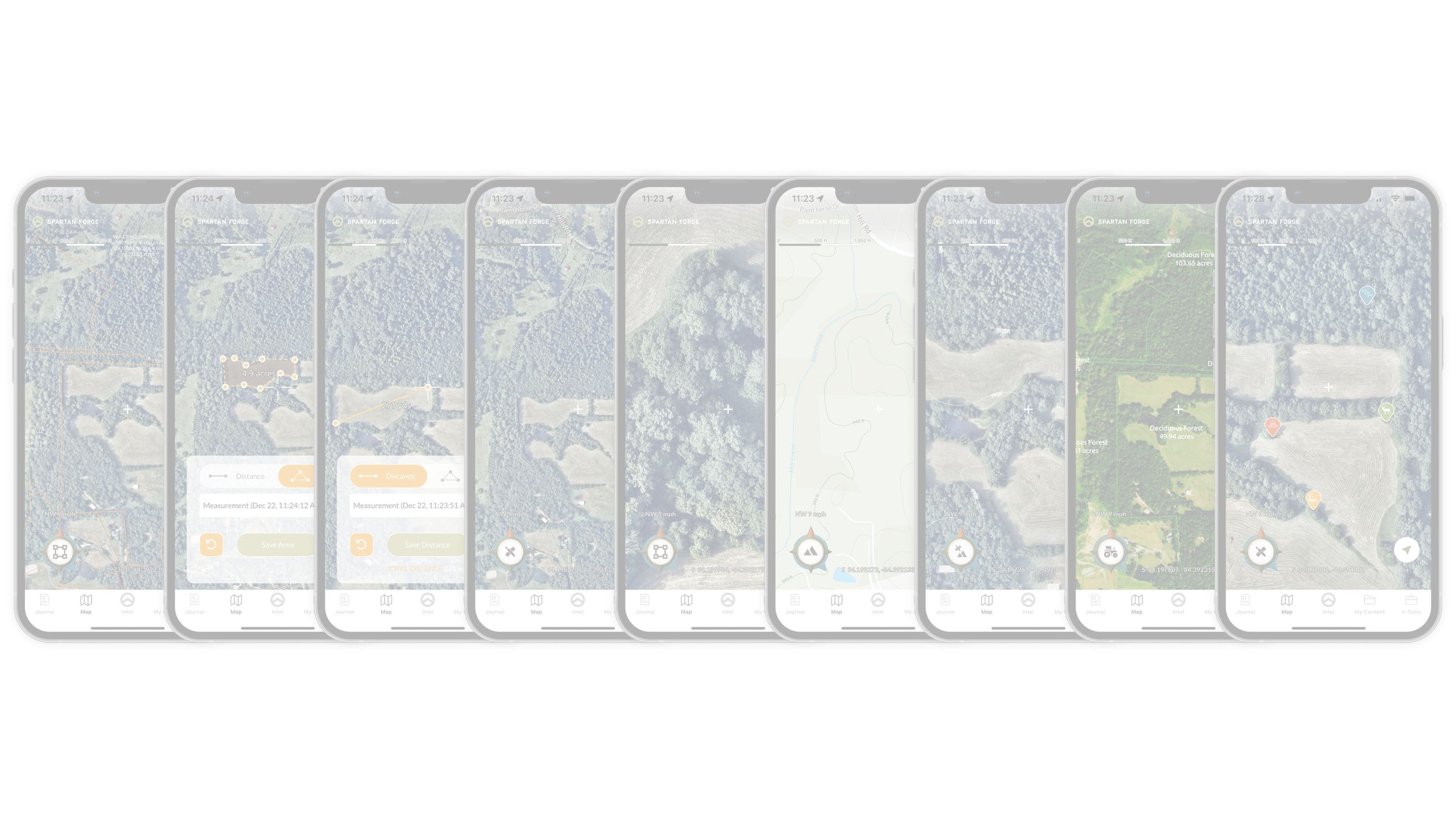


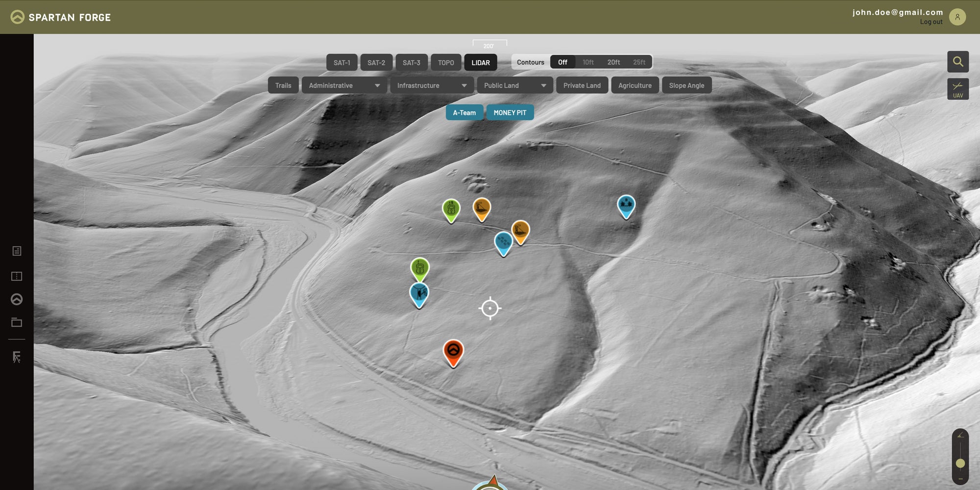
LiDAR & UAV Mapping
Industry leading LiDAR imagery allows users to see through the tree canopy and reveal critical terrain details. The sharpest high-resolution UAV imagery on the market, plus ten years of historical imagery for the ultimate e-scouting experience.
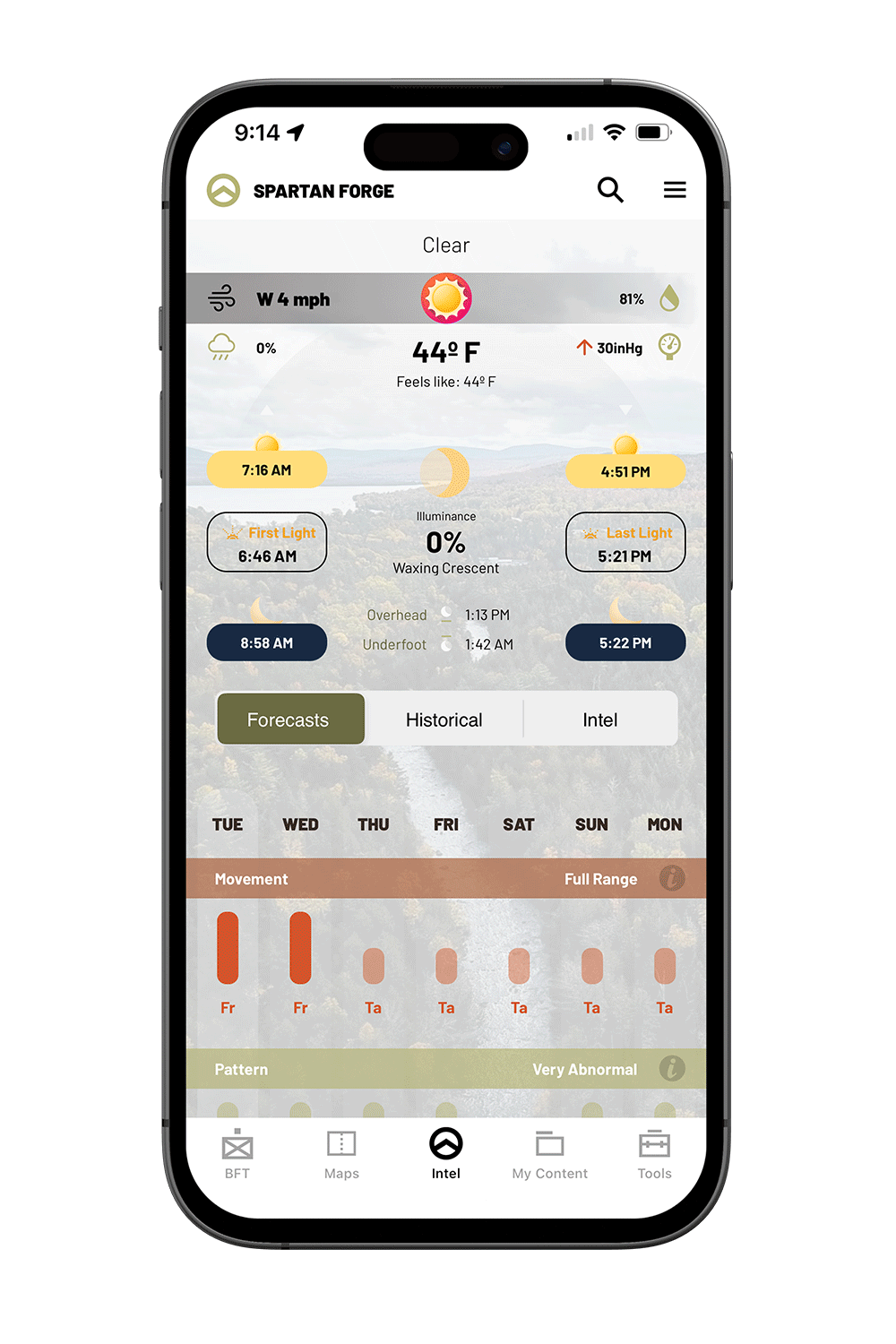
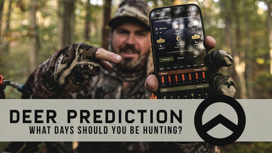
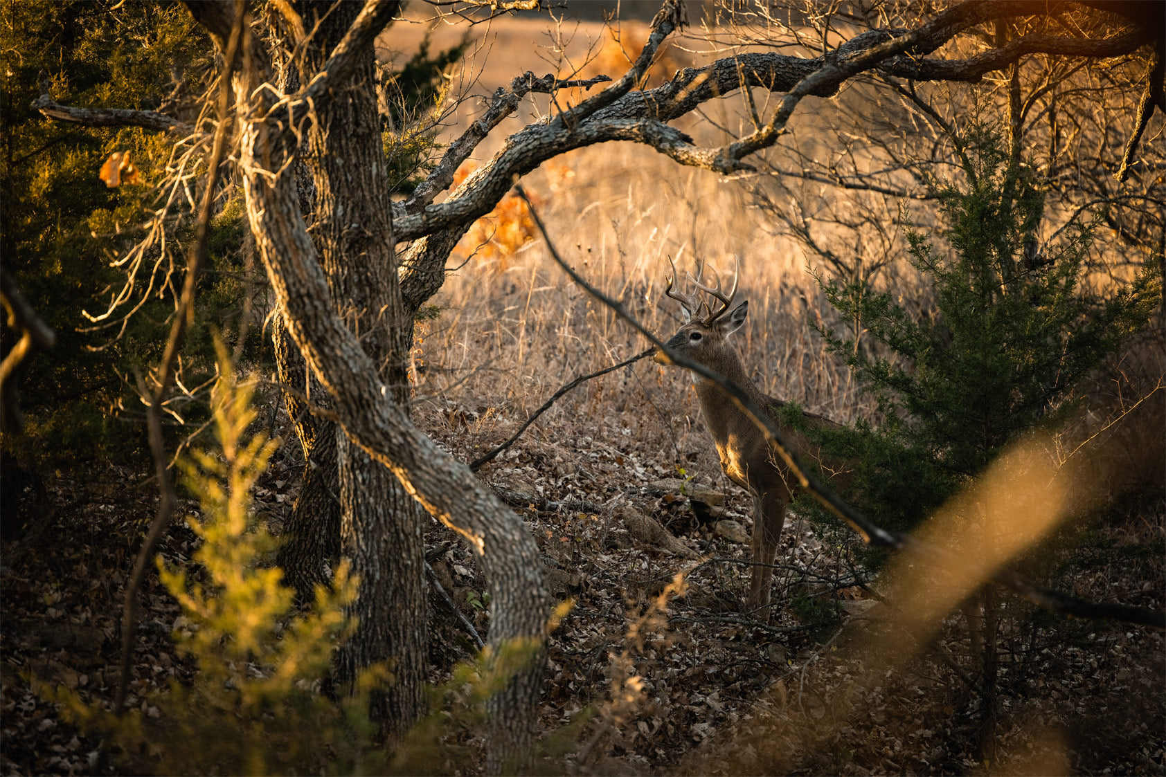
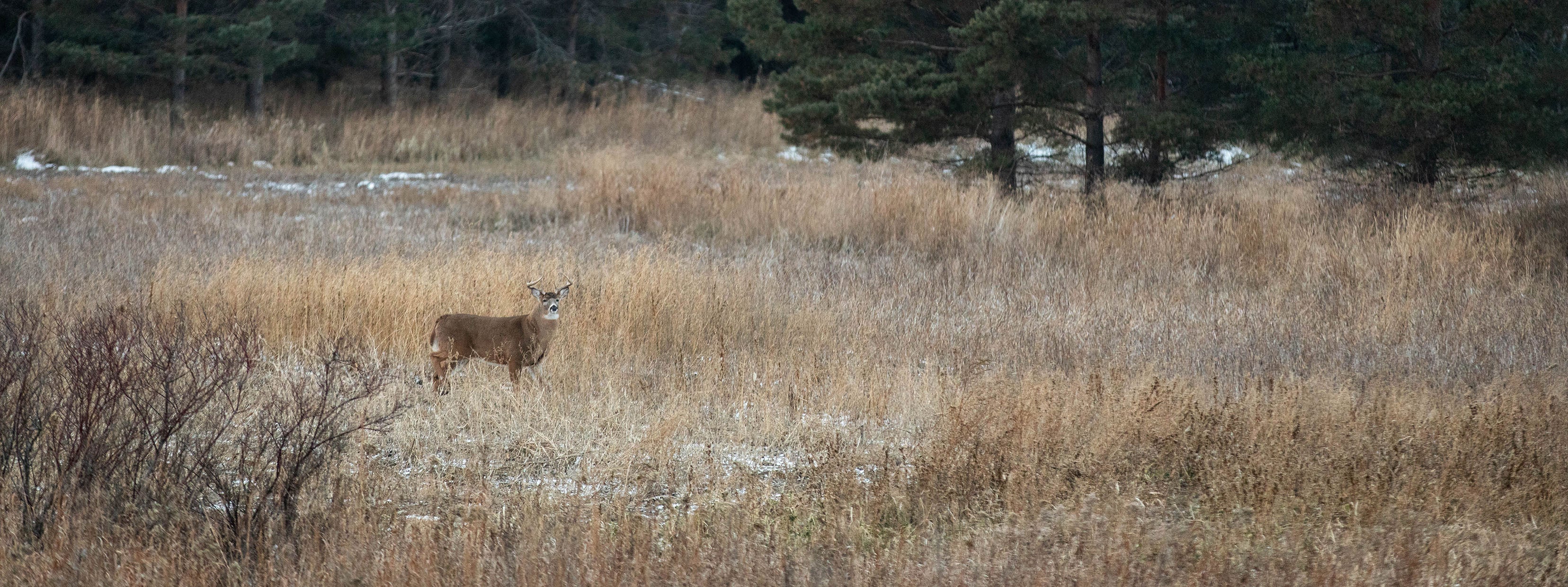
Deer Movement Prediction
The ONLY hunting app using science and data to predict whitetail deer movement. We've combined thousands of years of GPS deer collar data from trusted universities and built the industry's only neural network to predict deer movement based upon conditions and terrain in your area.
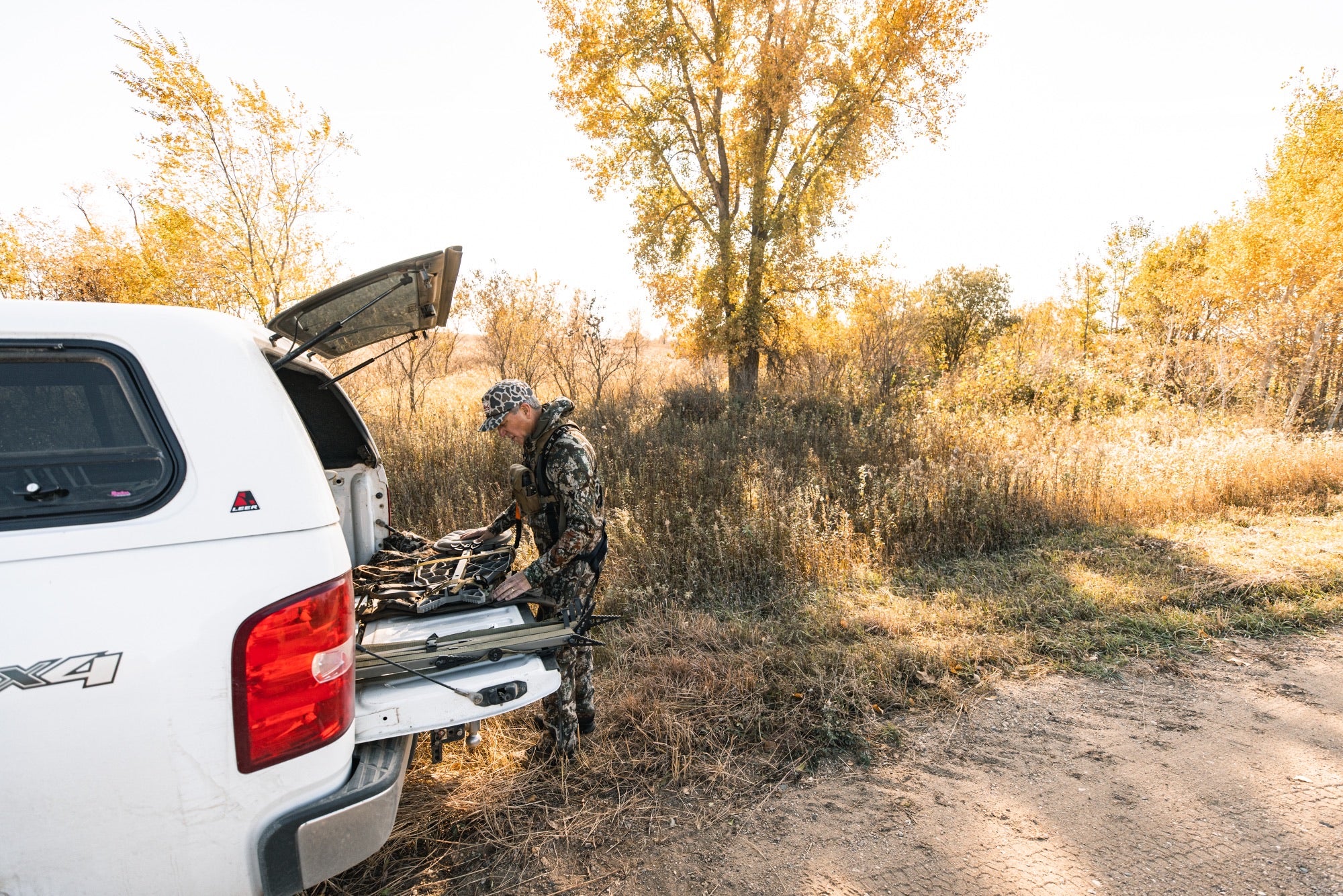
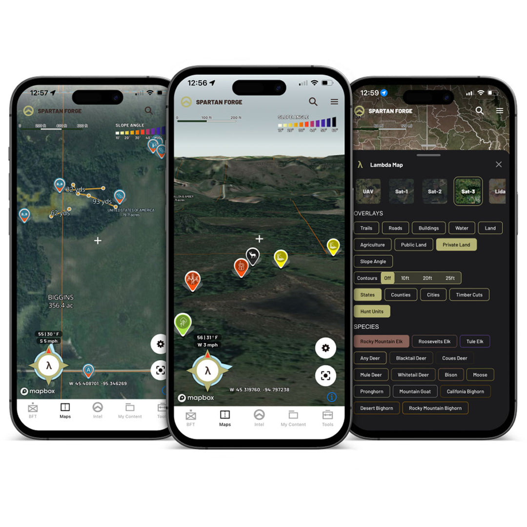
In-App Live Pin Sharing
Share pins immediately and with ease using our Blue Force Tracker Technology. This team-based function allows you to highlight a boundary on your map and invite hunting buddies to join the group for easy pin sharing. Pins dropped inside the polygon will automatically be shared with your Blue Force Tracker Team.
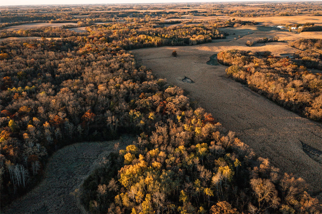
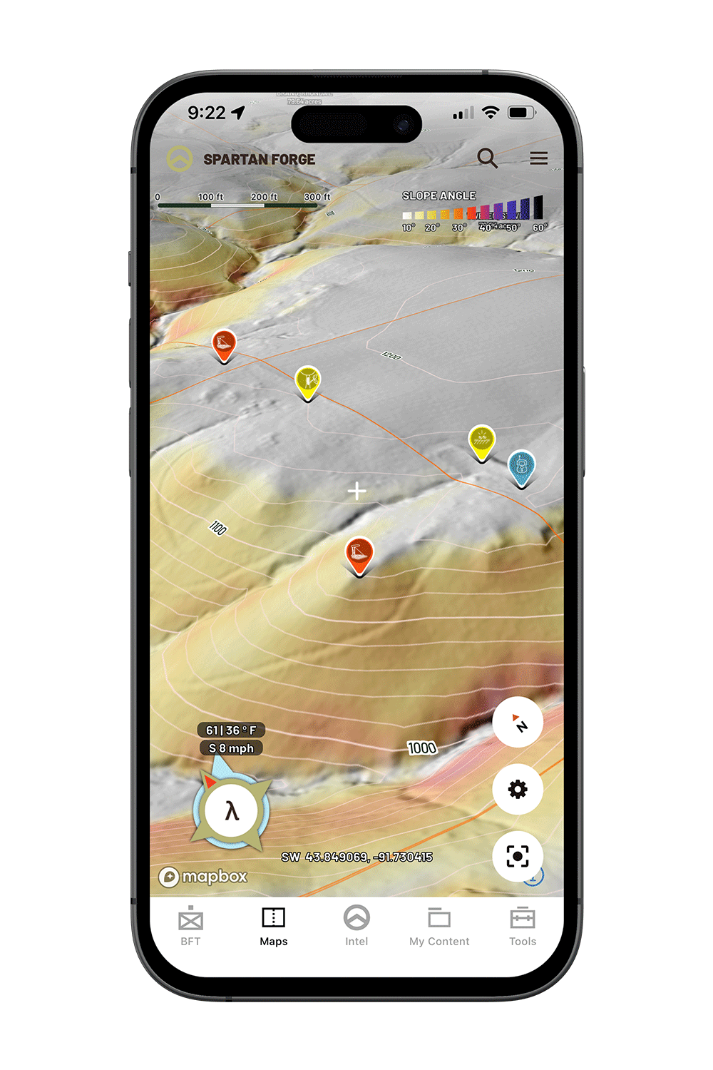
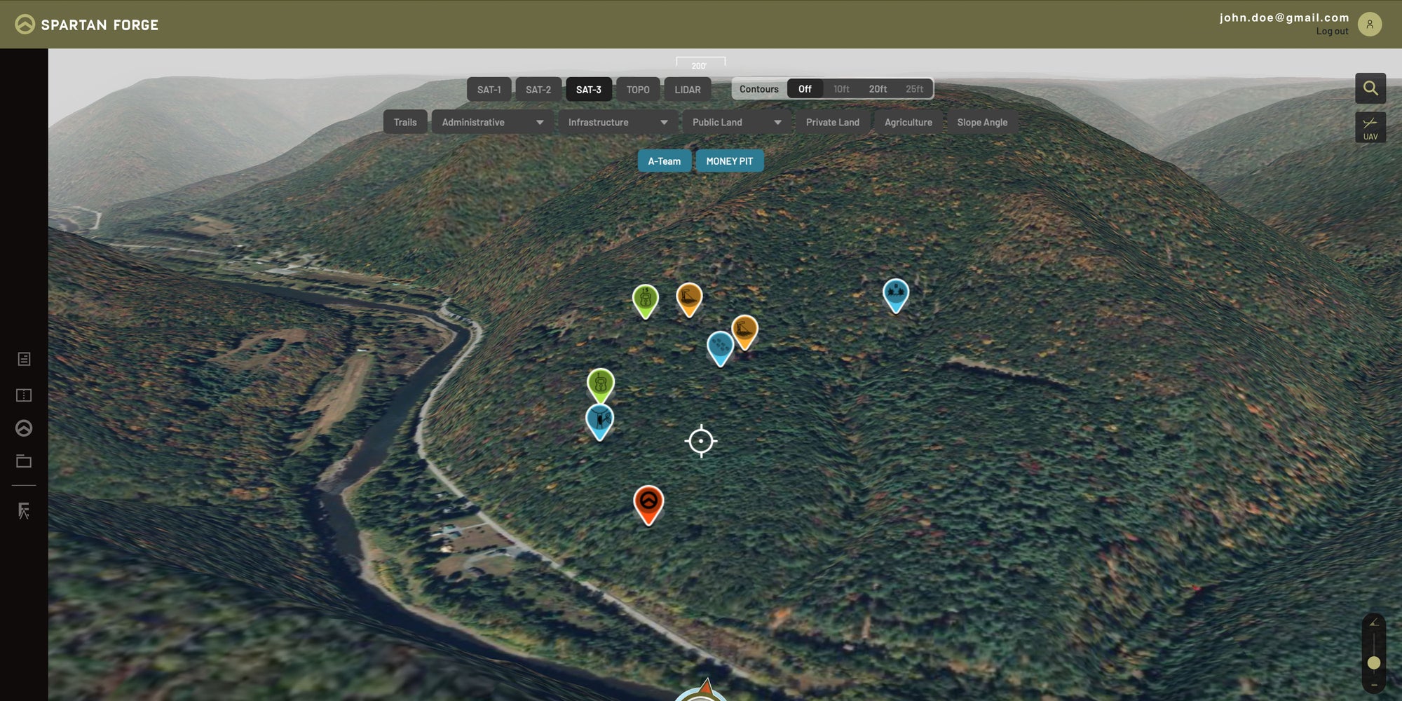
SEE MORE WITH LIDAR
E-Scouting is taken to another level with the mapping tools that Spartan Forge includes; the sharpest imagery, 3D maps and the ALL-NEW LIDAR layer.
level up now
The ONLY hunting app that uses artificial intelligence to predict deer movement. Also featuring bolstered mapping options due to the use of UAV imagery and LIDAR layers. Available on iOS and Android devices.
REP THE SHIELD_
Rep Spartan Forge in and out of the field—everyone will know you’re engineering the pursuit.