



Save 51% when paying annually.
We will charge your card for the subscription at the end of 7 days.
Everything you need to scout, plan, and hunt smarter.
Industry-Leading UAV Imagery — Ultra-detailed 15cm aerial imagery
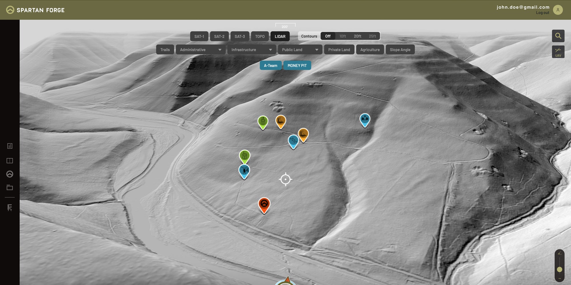
LiDAR — See subtle terrain features with 1m LiDAR across ~66% of the Lower 48
Historical Imagery — Compare 3–10 years of aerial imagery across 60% of the U.S.
Deer Movement Predictions — Science-based forecasts built to predict deer movement
Battlemap — Draw, mark up, add notes, and plan directly on your map
Land Ownership — View public and private property boundaries and ownership
Offline Maps — Navigate and access your maps without cell service
Weather & Wind — Hourly forecasts plus historical wind data
Eagle Eye — View terrain and vegetation from unique side-profile perspectives
Detailed Topo Maps — Configurable maps with detailed 10-foot contour lines
Sun Exposure — See how sunlight interacts with terrain throughout the day
Slope Angle — Quickly identify steep terrain and elevation changes
Live Group Pins — Share Pins with your hunting group in real time
Custom Map Layers — Build and save the map combinations you use most
Split-Screen Mapping — Compare topo and aerial imagery side by side on the web

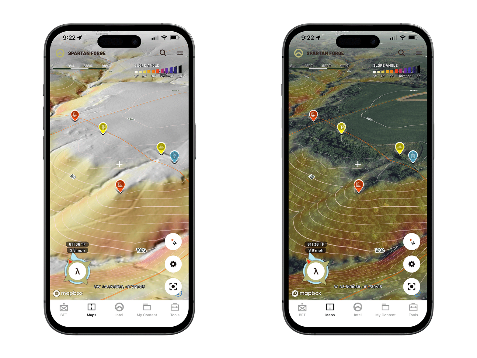
LiDAR & UAV Mapping
Industry leading hi-res LiDAR imagery allows users to see through the canopy of trees and gather critical terrain details. The sharpest Hi-Res UAV on the market and 10-years of historical imagery for the ultimate e-scouting experience.
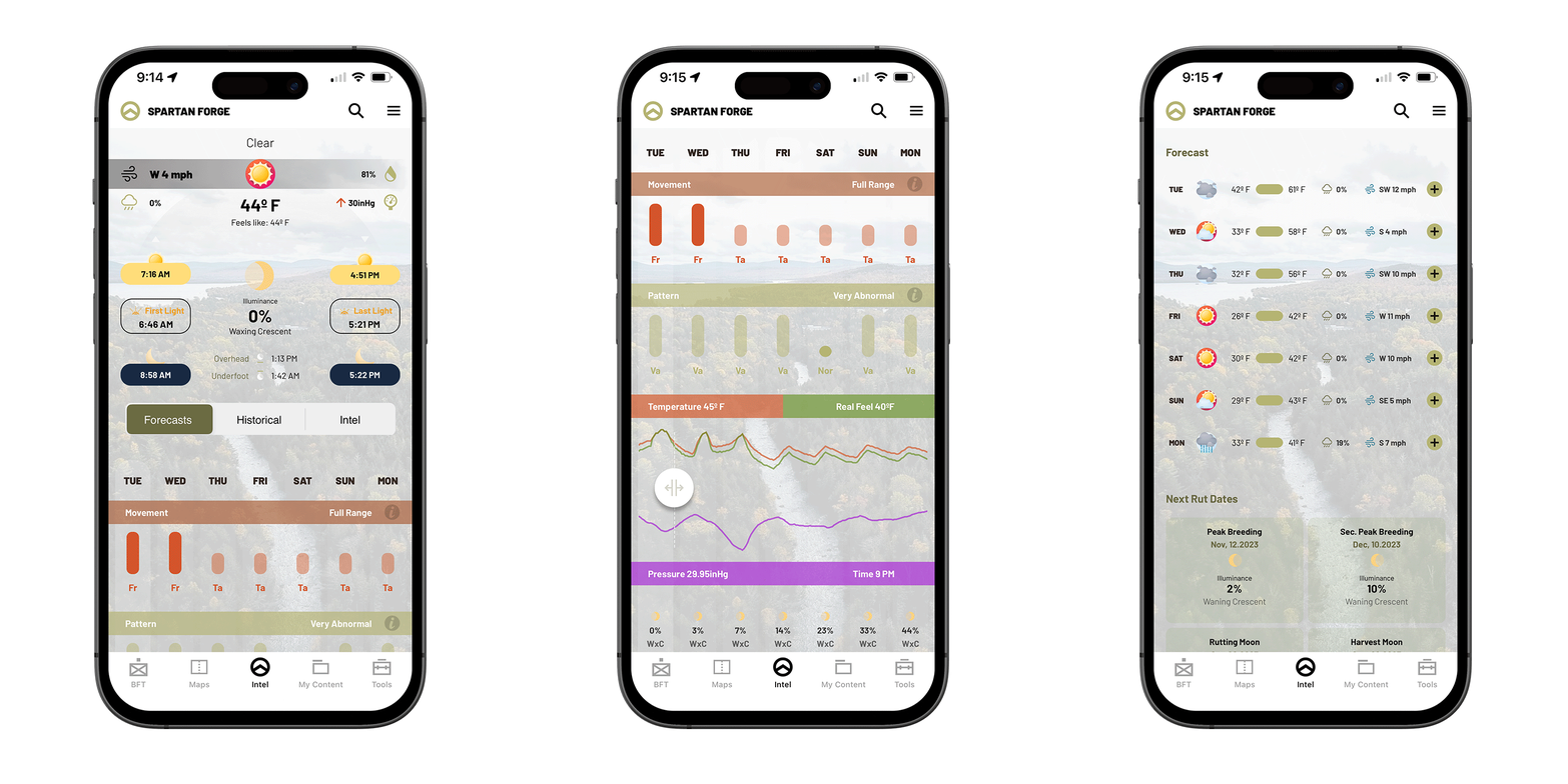
Deer Movement Prediction
The ONLY hunting app using science and data to predict whitetail deer movement. We've combined thousands of years of GPS deer collar data from trusted universities and built the industry's only neural network to predict deer movement based upon conditions and terrain in your area.
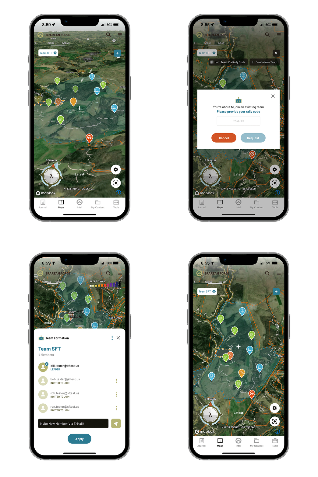
In-App Live Pin Sharing
Share pins immediately and with ease using our Blue Force Tracker Technology. This team-based function allows you to highlight a boundary on your map and invite hunting buddies to join the group for easy pin sharing. Pins dropped inside the polygon will automatically be shared with your Blue Force Tracker Team.
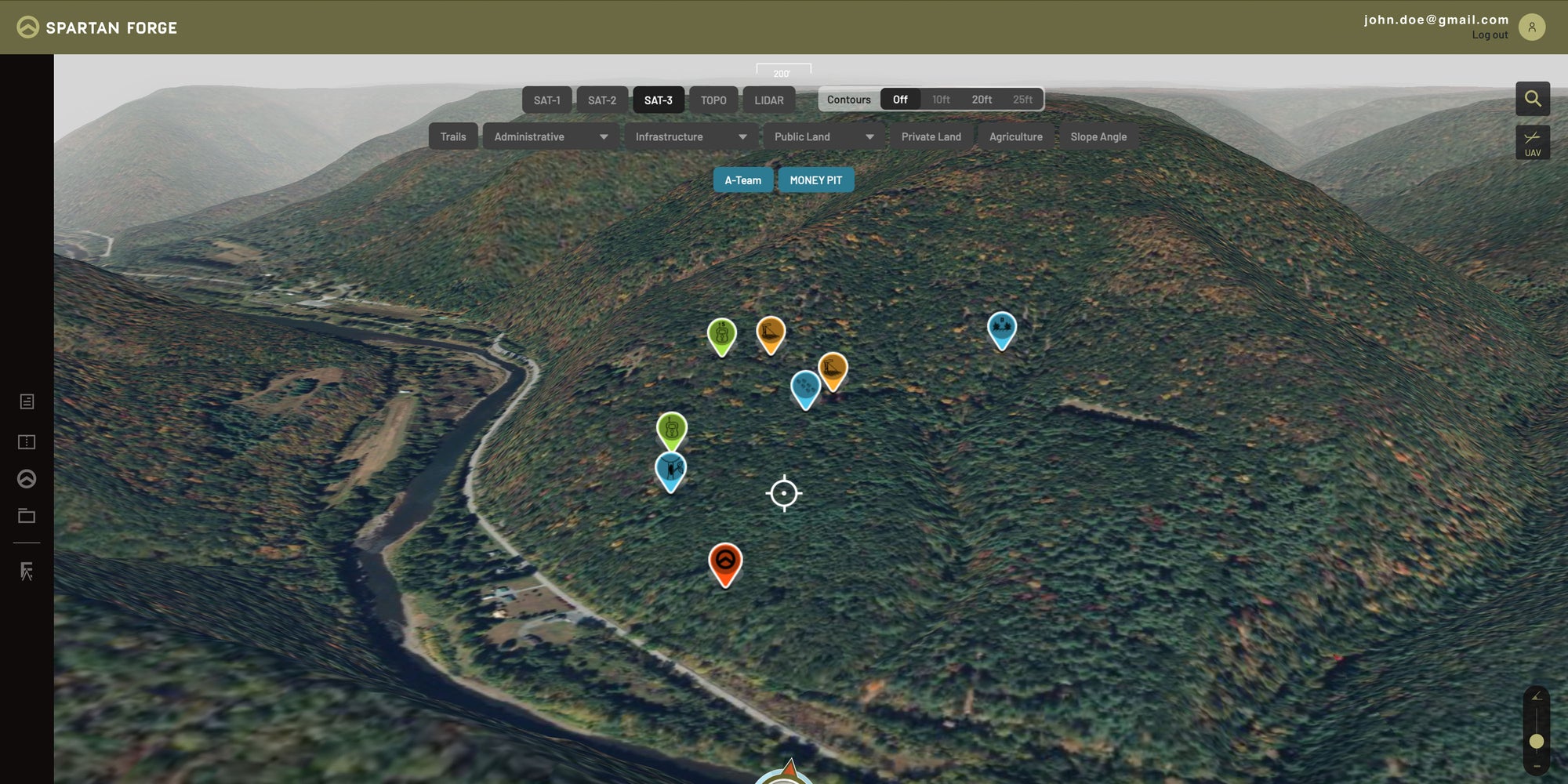
SEE MORE WITH LIDAR
E-Scouting is taken to another level with the mapping tools that Spartan Forge includes; the sharpest imagery, 3D maps and the ALL-NEW LIDAR layer.

FREQUENTLY ASKED QUESTIONS
You will be billed once a month on the date that you first subscribed to our monthly plan.
No obligations! Cancel at anytime with no hidden fees.
If you already have the FREE plan and want to upgrade, click menu in upper right corner and select to "Change Plan."
Nope, all features shown above are included in that respective subscription. So, don't worry about any monthly caps on any parcel data or property information!