

LiDAR Maps For Turkey Hunting
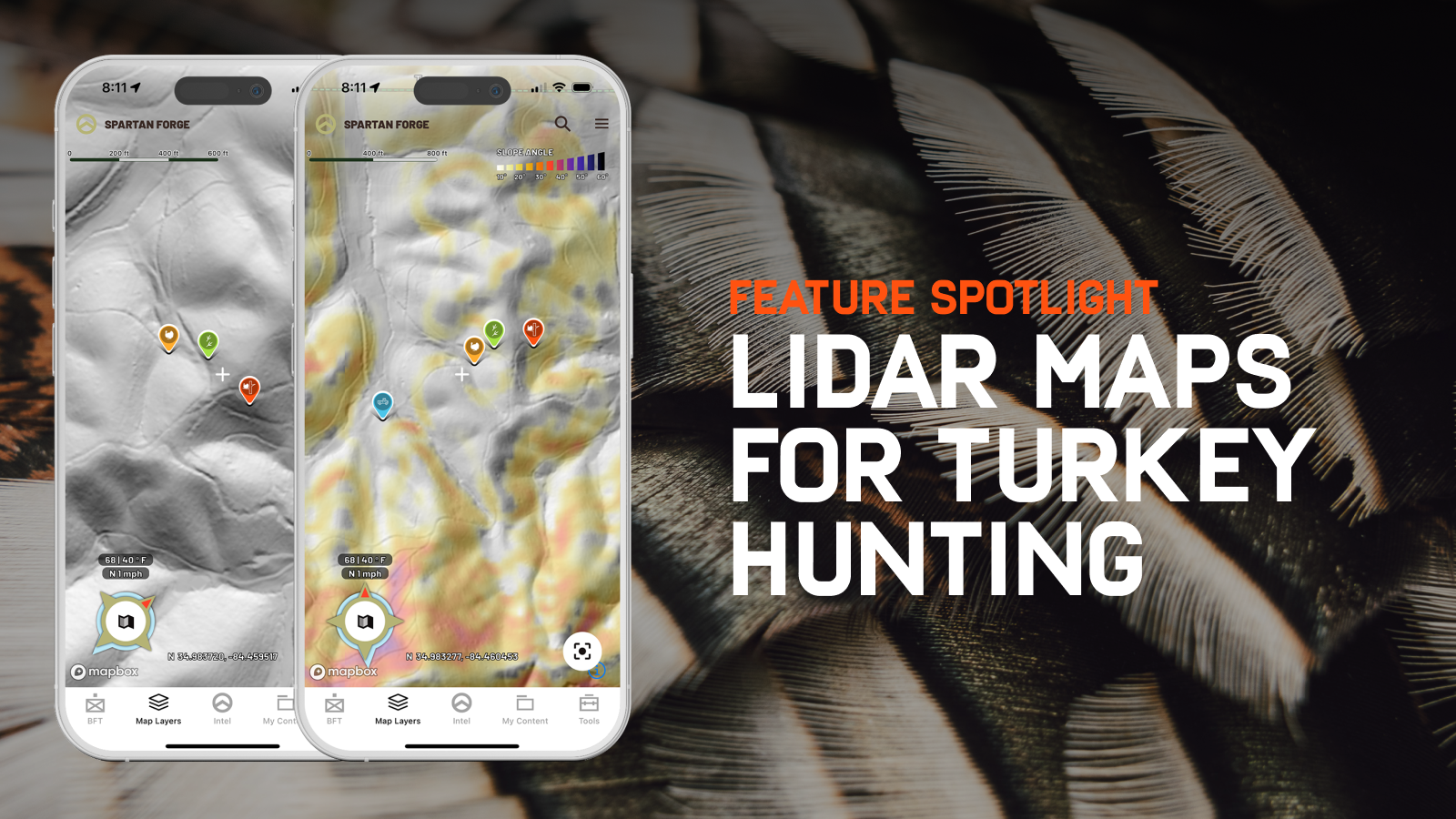
LiDAR offers an advanced, detailed view of the land that can significantly improve your strategic planning for turkey hunting by revealing the terrain's secrets.
- Scout Travel Corridors: Turkeys use specific routes through the terrain for moving from roosting to feeding areas and vice versa. Look for natural corridors, like ridges or valleys that LiDAR reveals, and you might find the superhighways turkeys travel on.
- Pinpoint Feeding Areas: With the high-resolution detail LiDAR provides, you can identify changes in vegetation and spot potential feeding areas such as open fields, oak stands (for acorns), or areas with rich underbrush.
- Choose Your Setup: Once you've identified these key features, plan where to set up your blind or where to place yourselves for a spot and stalk. Opt for places where you clear have visibility but can also use the terrain for concealment, near the identified roosts, or along travel corridors.
- Ambush Points: Lastly, use LiDAR to identify natural funnels, chokepoints, or barriers that turkeys are likely to avoid. Setting up near these points can give you a great opportunity for an ambush.
Remember, the magic of LiDAR is in its ability to reveal the contours and makeup of the land in a way that traditional maps and even satellite imagery cannot. Combined with boots-on-the-ground scouting, LiDAR maps can significantly enhance your understanding of the hunting area, giving you a strategic advantage.