

Save on your first year
Discount Applied at Checkout
The ONLY app using science to build deer movement prediction forecasts.
LIDAR: 1m resolution for ~66% of the lower-48 U.S. with 10m coverage for remainder.
Industry Leading Hi-Res UAV Map w/ 15cm resolution
3-10 years of historical UAV Imagery for 60% of US
Sun Exposure layer to see terrain like never before
Historical Wind Plot Data
Live Group Pin Sharing from Blue Force Tracker
Hourly Weather & Wind Forecasts
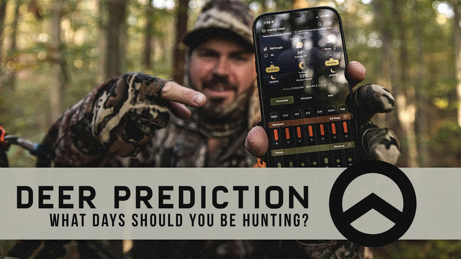
Deer Prediction AI Forecasting Model
3 Customizable Pre-Set Mapping Layers (w/ endless combinations)
Eagle Eye - 4 unique side profile views of terrain and vegetation (in most UAV areas)
Offline Mapping
Configurable Topo Maps w/ detailed 10ft contour lines
Split Screen Mapping for web application (allows topo and satellite layers simultaneously)
Slope Angle Shading for quick terrain analysis
Public and Private Boundary Lines
We will charge your card for the subscription at the end of 7 days.

FREQUENTLY ASKED QUESTIONS
You will be billed once a month on the date that you first subscribed to our monthly plan.
No obligations! Cancel at anytime with no hidden fees.
If you already have the FREE plan and want to upgrade, click menu in upper right corner and select to "Change Plan."
Nope, all features shown above are included in that respective subscription. So, don't worry about any monthly caps on any parcel data or property information!